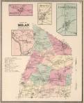
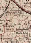
A century of Milan mapped
Click on any map image below to enlarge, it will be featured within a black space and then you can either click:
“View full size” found at the bottom right of that black space. OR
“See original source file” found at the bottom left of that black space.
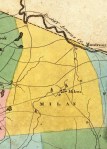
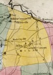
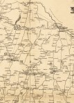
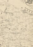


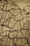
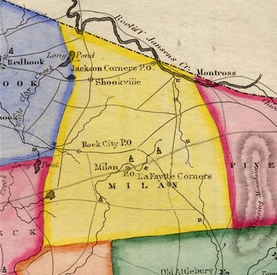
1802 Map of the Ulster and Delaware Turnpike (Salisbury Turnpike)
See close-up pics of 1802 Salisbury Turnpike Map.
See broad view of full map here. Search for access to original County file.
See in detail what the early main road looked like, view video below.
Building and Testing Interactive Maps
Although not inclusive of Milan, but adjacent Rhinebeck and Red Hook, this set of 1797-1798 Thompson maps are being very creatively built with overlays and added information. The exercise led by Bard College’s Gretta Tritch Roman will continue to expand with new capabilities, come back see how it is evolving!
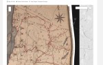
Milan test map, with multiple layers and topics. For best viewing:
Click on the four-corner square in the upper-right corner of the map and it will automatically open in a new window.
Once open in this way, you can then select one or any or all of the items on the left to view: Churches, Hamlets, Post Offices.
More to come!
